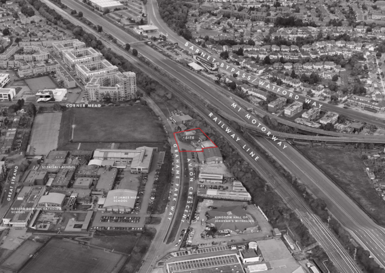
Detailed proposals have been verified with the London Borough of Newham on 1.51 hectares (ha) brownfield site adjacent to the River Lea and to the north of the A13 flyover in east London. The site has been earmarked in Newham’s local plan as site S12, which will form part of the maturing series of tall buildings since the mid-2010s.
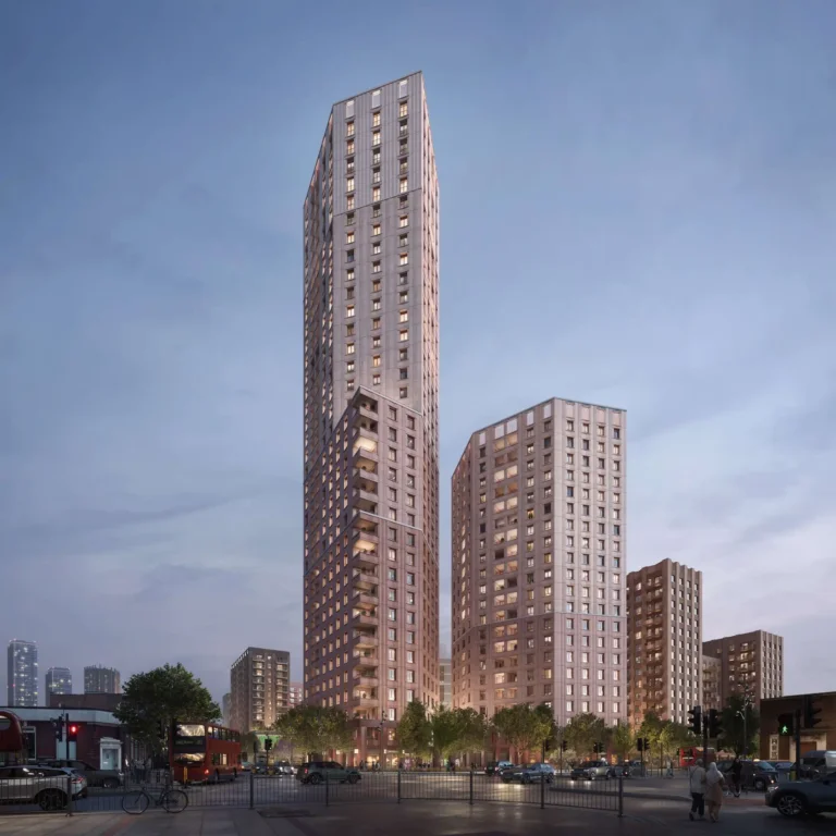
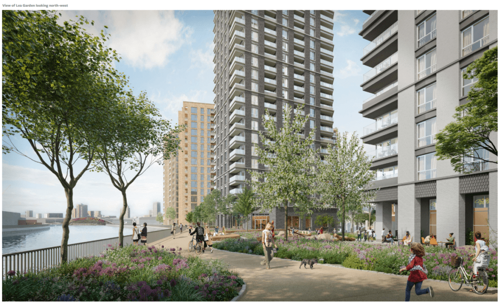
The application submitted by volume home builder Barratt proposes building seven new buildings, ranging in height from 8 to 30 floors alongside improved access to the River Lea and a car-free route towards Bow Creek and Limmo Peninsula Ecological Park following the River Lea.
The developer has appointed architects; JTP, Metropolitan Workshop, and Macfarlane + Associates to produce design proposals for the site.
The site’s Public Transport Access Level (PTAL) varies from 6a in the south to 5 in the northern part of the site indicating relatively high levels of accessibility to public transport, this is due to the site being a three-to-five-minute walk from Canning Town Station which provides access to the Jubilee Line and Docklands Light Rail (DLR) services around 250m meters away.
Following feedback from the Environment Agency, it was determined that the existing wall did not meet the requirements for the 2100 flood event and needed to be raised to 6.3m above the ordnance datum (AOD). A number of options were considered including refurbishment of the existing wall and total replacement.
Within the 871 new homes proposed, 241 (355 by habitable room) will comprise affordable units as either Shared Ownership or London Affordable Rent. 153 are set to be for Shared Ownership and 88 for London Affordable Rent
The Proposed Development will also deliver a total of 2,635m2 of employment space across a range of
land uses in 17 commercial units.
The Urban Greening Factor for the site has been calculated at 0.412. A Biodiversity net gain report has been prepared in support of the application which showed the proposed development will result in a Biodiversity Net Gain of 3,502.11%.
Once occupied, the proposed development will provide disabled car parking for both the residential and commercial elements (a total of 27 spaces) and one car club space only. Therefore, vehicle trips in relation to the proposed development will predominantly relate to servicing and deliveries.
Local Plan Policy H1 sets a target of delivering 43,000 additional homes in Newham between 2018 and 2033, which is 2,867 homes per year on average. The target in London Plan policy H1 is 32,800 homes between 2019 and 2029, or 3,280 per year on average, an increase of around 400 per year from the local plan target.
The Borough’s Strategic Housing Market Assessment (2022) estimates that there are currently 12,890
households unable to afford housing costs, and projects that this figure will grow by 7,815 over the next 17
years. There are an additional estimated 9,631 existing Newham households who cannot afford their own
home but aspire to do so, with projected growth of 11,755 households by 2038.
These figures combined give an overall affordable housing need of 42,091 units over the next 17-year period, equivalent to 2,476 units per annum. The chronic demand for affordable housing is illustrated by the Council’s Housing Register, which currently has 27,000 applicants and some 4,500 families in temporary accommodation.
According to the LBN Draft Allocations Policy Summary (2022) the average wait time for a household with a ‘reasonable preference’ is approximately 13 years.