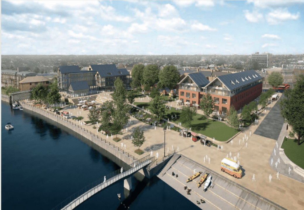
Plans drawn up by Hopkins Architects on behalf of the developer and local authority Richmond Upon Thames proposes new housing and improvements to the public realm that fronts onto the River Thames.
The recent detailed planning application submission is the cumulation of a design competition in 2019, the local authority and applicant appointed a team lead by Hopkins Architects for the 1.34-hectare site.
The site currently is home to a mixture of vacant and derelict buildings including the former public swimming pool, retail, offices, and a car park that overlooks the River Thames, the site benefits from a Public Transport Accessibility Level (PTAL) rating in part 5 and part 6a.
The Proposed scheme features the demolition and the erection of two new buildings, the first building will run the entire length of Water Lane and will take the form of a reverse L-Shape.
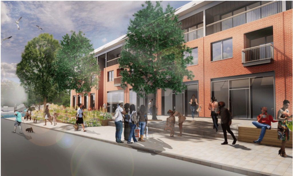
The proposed building would rise to stories with a pitched roof and provides space for five new retail units, which should activate the Water Lane ground level frontage and will hold all of the affordable units set for this scheme set at Shared Ownership and London Living Rent tenures.
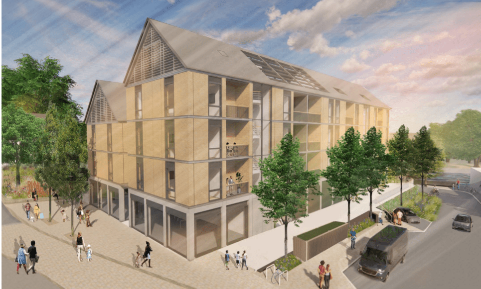
The scheme also proposes a new building referred to as the Wharf Lane building which will sit at the South Western corner of the site, this site will house the 24 units for market sale which will sit above a proposed gastropub and entrance for a proposed office.
The Wharf Lane buildings take inspiration from the steel-framed boatyards of Eel Pie Island. During the initial competition phase, it was proposed to be clad in timber frame however following subsequent fire assessments particularly within multi-tenanted buildings, it was decided to change the cladding to the brick of a similar complexion.
The proposal which is being spearheaded by the local council also seeks to provide three new public spaces including a children’s play area, a public piazza, and green space in the immediate vicinity of the L-shaped affordable housing block.
Influenced by Thames 2100, a set of planning policies set out by the Environmental Agency (EA), this set’s out a 16-meter exclusion zone behind the first flood defense this being the raised embankment that carries the Thames Path.
In addition, the scheme also had to comply with the 4-meter exclusion zone, which through negotiation with the EA and careful demonstration that the flood defense could be maintained, it could be reduced to four meters in order to minimize the impact on the developable area of the site.
The scheme also seeks to remediate the impacts of a 1 in 30-year flood, through the introduction of two new public spaces, Lawn Terraces, and Diamond Jubilee Gardens.
Those looking to support this proposal can do so here.
